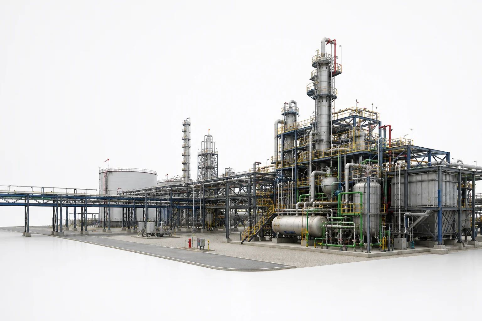
Plant Survey & Documentation
Comprehensive laser scan surveys of industrial facilities: equipment locations, piping routing, structural framing, utility distribution. Complete field record from initial survey through final delivery.
- Production area surveys
- Equipment location mapping
- Utility distribution documentation
- Structural assessment
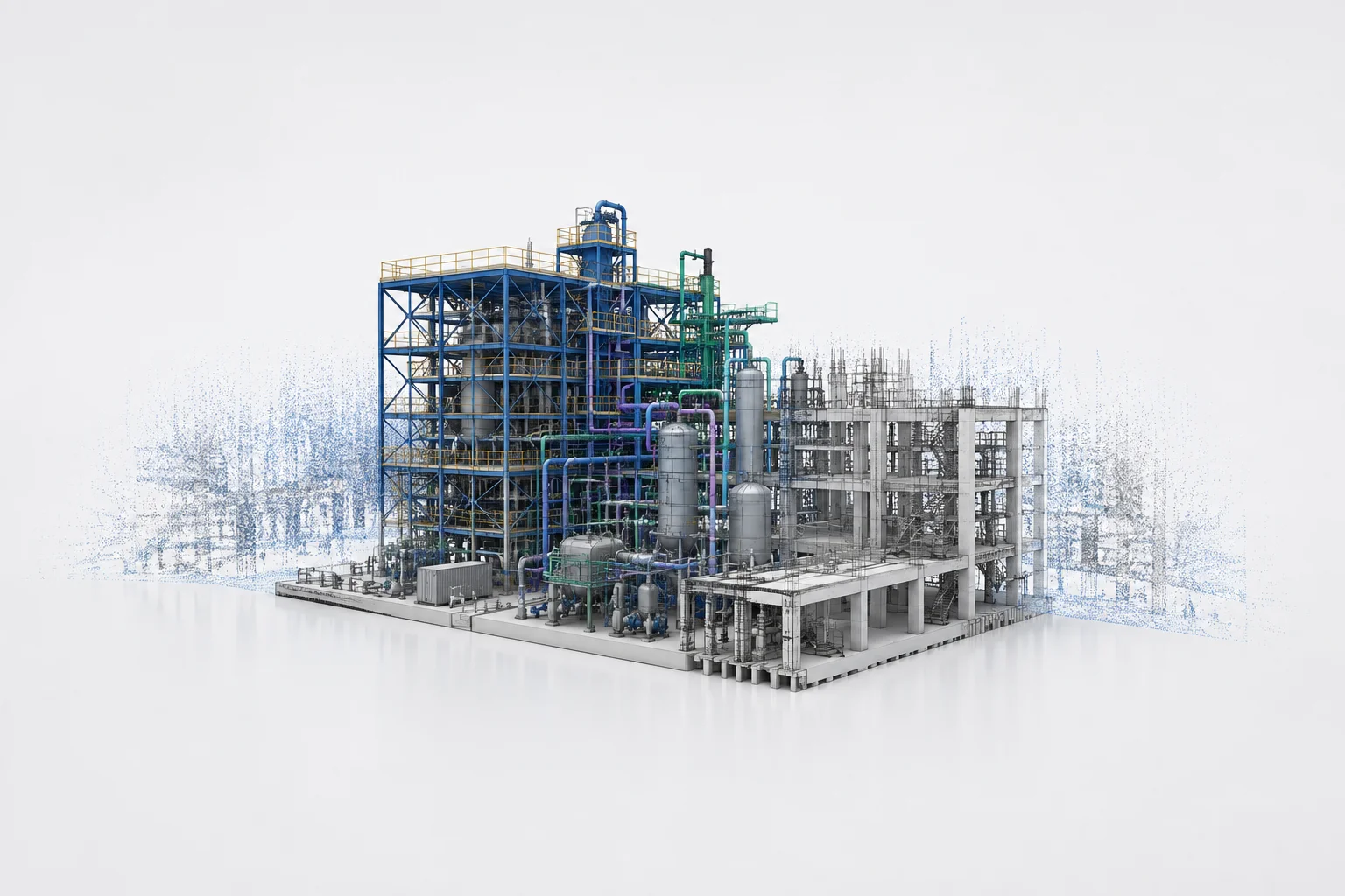
Infrastructure Modeling
Point clouds converted to accurate 3D models representing existing plant systems: structural steel, concrete, MEP systems, equipment footprints. Foundation for design and planning.
- Structural modeling
- Equipment representation
- Piping and utility routes
- 3D spatial analysis
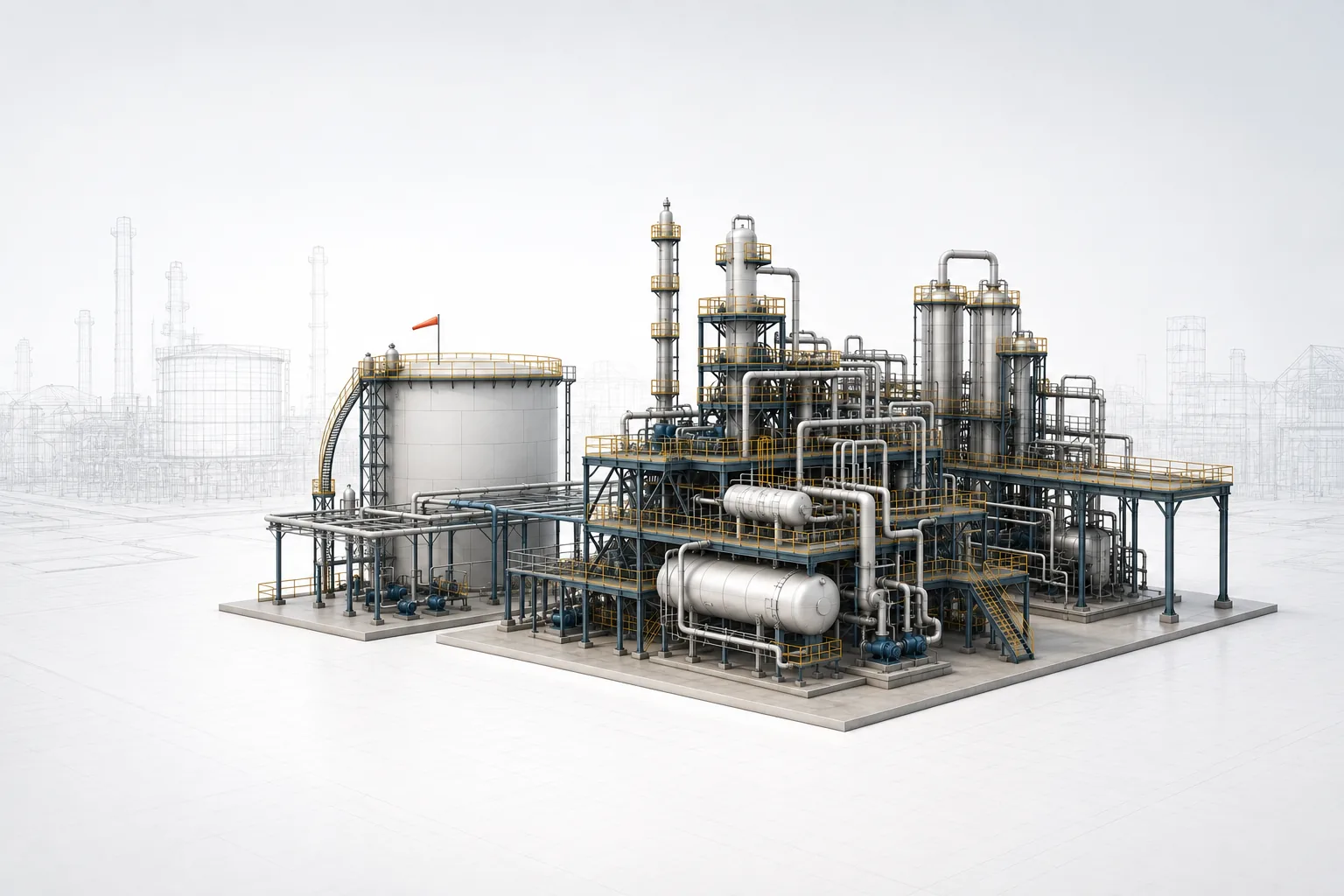
Retrofit Planning Support
Digital plant models enable retrofit planning: space utilization analysis, interference detection, equipment relocation studies, and expansion feasibility. Reduces design time and risk.
- Space utilization analysis
- Interference detection
- Expansion feasibility
- Clearance verification
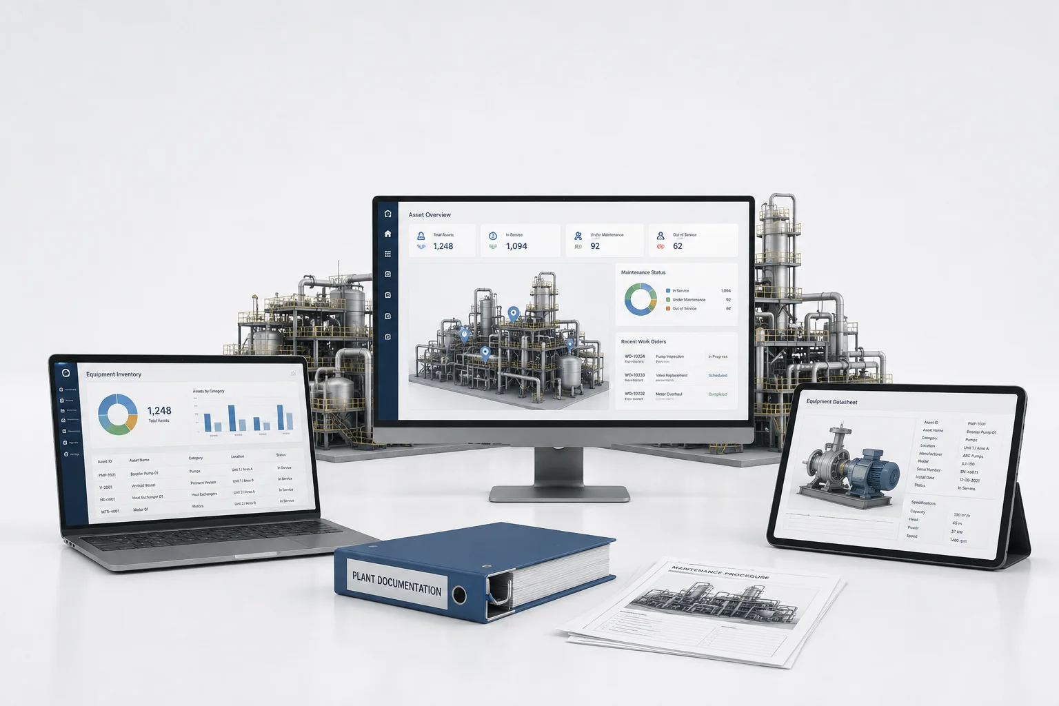
Asset Management & Documentation
Digital plant data integrated into facility management systems: equipment registers, maintenance records, and operational documentation. Supports lifecycle management and future upgrades.
- Asset registry
- Equipment inventory
- Maintenance documentation
- Operational handover
Ready to expand your engineering capacity?
Tell us about your plant modernization or expansion project — facility type, scope, available documentation. We'll come back within 24 hours with a clear path to delivery.
Request a Quote